For the last two days I have been playing around with an interesting piece of software called Google Earth which is basically ‘The Worlds Best Globe’.
Google Earth uses satellite images from space and lets you zoom in and view any location on the planet. Some locations are more detailed than others. Where I live, in Bath the resolution is relatively low, but if you view New York you can see every building and even boats in the harbour.
Using this software really does bring home what modern technology can offer. In theory any exterior location in the world could be viewed, in great detail by anybody – anonymously, whether it’s for a bit of fun (like my usage), educational purposes or for even more sinister reasons such as terrorism.
We sit at home watching Big Brother on television thinking to ourselves how we would never diminish our personal privacy when in fact satellites are watching us 24/7. Okay, this is a very paranoid view on things; individually we are (probably) not being viewed by the government and the ‘Men in Black’ but it certainly makes you wonder what technology in the skies is looking down upon us all.
Google Earth can be downloaded, for free here.
Here are a few pics I took using the software

Can you see your house from up here?

Area 51, still not on any maps

Its EastEnders!
No trackbacks yet.
Posts with similar tags
No post with similar tags yet.

 Considering that Leeds are now a Premier League team, is it time to start collecting stickers again?
...
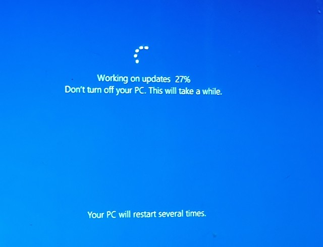
 ... but my laptop has decided to perform the biggest update in the world.
It's been stuck on 27% since what feels like the year 1927, so your guess is as good as mine as to when it will finish and allow me to blog again.
...
 I found an IQ Test online today.
I must admit - it was a lot shorter and easier than the one Bart cheated on, during that episode of The Simpsons, some stupidly long time ago! Despite its age, I am yet to see a Kwyjibo on a David Attenborough documentary.
There are only three questions in this...
 I had a power cut today. I'm pointing the finger of blame at Storm Hannah. Bitch.
Losing electricity is always a shocking and distressing experience. It's up there with your water being cut off, or a sudden disappearances of all oxygen and air.
Imagine if I had been blogging at the time of the thoughtless power interruption....
 March 12th.
It was a very special birthday yesterday...
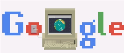
You may already be aware of who it was for - if not, perhaps you noticed the rather jazzy Google logo?
In case you still don't know what the hell I am on about, the Internet turned 30 yesterday... although there are many who still question the correct date...
 So you stumbled across my blog. No doubt after searching for something bizarre on Google. Before you hit that 'Back Button', why not stay and have a read for a few minutes?

Leave a Reply